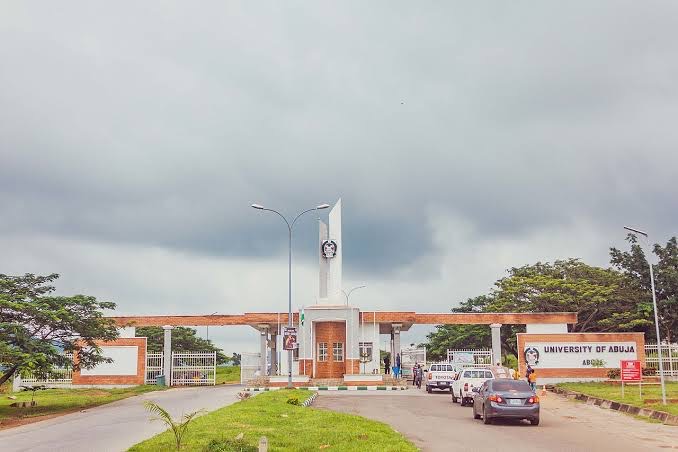
Abuja Vs Lagos: Which Nigerian City Is Right for You?
Few decisions in Nigeria carry as much weight as choosing between Abuja vs Lagos. One is the nation’s commercial heart, but noisy and chaotic. While…
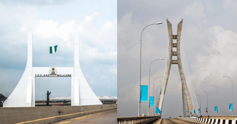
Few decisions in Nigeria carry as much weight as choosing between Abuja vs Lagos. One is the nation’s commercial heart, but noisy and chaotic. While…
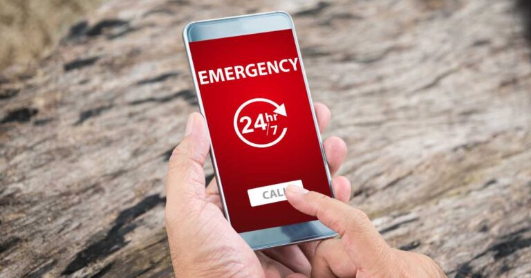
Having Nigeria National Emergency Numbers will help save lives. Unfortunately, many are unaware of the correct contact numbers to use.
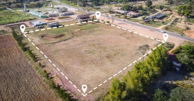
Buying land in Abuja is exciting, but registering that land? That’s where many people start sweating. Here’s the right way to register land in Abuja.
The Kuje postal code is 903101. All areas, towns, and villages located within the entire local area council also use the same single 6-digit postal code.
Covering a land area of about 7,290 km², the Federal Capital Territory is sub-divided into six councils. Discover ALL the local government areas in Abuja.
In this post, we’ll take a look at the wards in Gwagwalada LGA and the locations of all INEC-approved polling units in that local area council.
The Kwali postal code is 904105. All areas, towns, and villages located within the entire local area council also use the same single 6-digit postal code.
The Gwagwalada postal code is 902101. All areas, towns, and villages located within the entire local area council also use the same single 6-digit postal code.
The Abaji postal code is 905101. All areas, towns, and villages located within the entire local area council also use the same single 6-digit postal code.
The Bwari postal code is 901101. All areas, towns, and villages located within the local government area council also use a single 6-digit postal code.